
Beyond one project at a time
A single-site analysis asks "what does it take to connect this one project?" A grid plan asks "what happens to this substation when the whole portfolio connects?" Gridtwin Planner simulates existing infrastructure and new projects together, cumulative effects included.
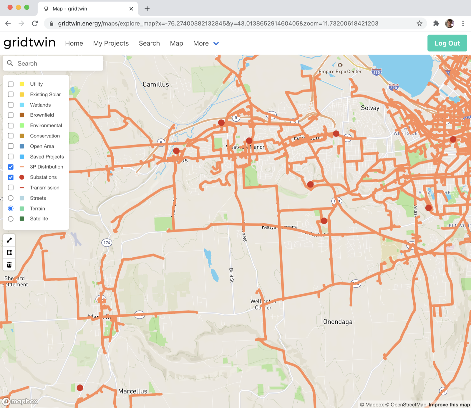
- The network around the substation imports automatically — feeders, equipment, and service territory
- Granular modeling of every household, business, or load; tunable parameters for every generator
- Add new projects from a pre-existing forecast, from your saved studies, or by hand
Two simulation steps
Build the baseline, then interconnect the portfolio.
1 · Build
The existing infrastructure is simulated as the baseline. The network is solved and, where the existing system already has violations, equipment is upgraded until the baseline is sound.
2 · Interconnect
The new projects connect and the plan re-simulates — iteratively finding thermal overloads and voltage excursions, applying upgrades (reconductoring, voltage regulators, capacitor banks, transformers), and re-solving until the network is clean.
With load profiles enabled, every solve is a 24-hour daily simulation using per-project-type load and generation profiles. Each setting — overload threshold, acceptable voltage, regulator spacing, feeder splitting, and more — is configurable per plan.
Before-and-after you can defend
Every plan reports an Existing vs. Interconnected comparison: convergence status and upgrades applied; demand and DER capacity; maximum line loading, minimum bus voltage, energy served, and losses; network element counts — and a Bill of Materials rolling up the cost of every upgrade the interconnection required.
Inspect any line or bus on the map for its simulated voltage, current, loading, and losses.
Take it with you
Download a completed plan as a ZIP containing the network as a shapefile, the model script, and the simulation results — ready for GIS review or further study in the tools your engineers already use.